
Above and Beyond:
Insights That Elevate Decisions
Our expert drone services deliver precision aerial mapping, detailed 3D modeling, and immersive visualization for environmental projects, infrastructure planning, and property marketing—transforming how you view, analyze, and showcase your world from above.
Services
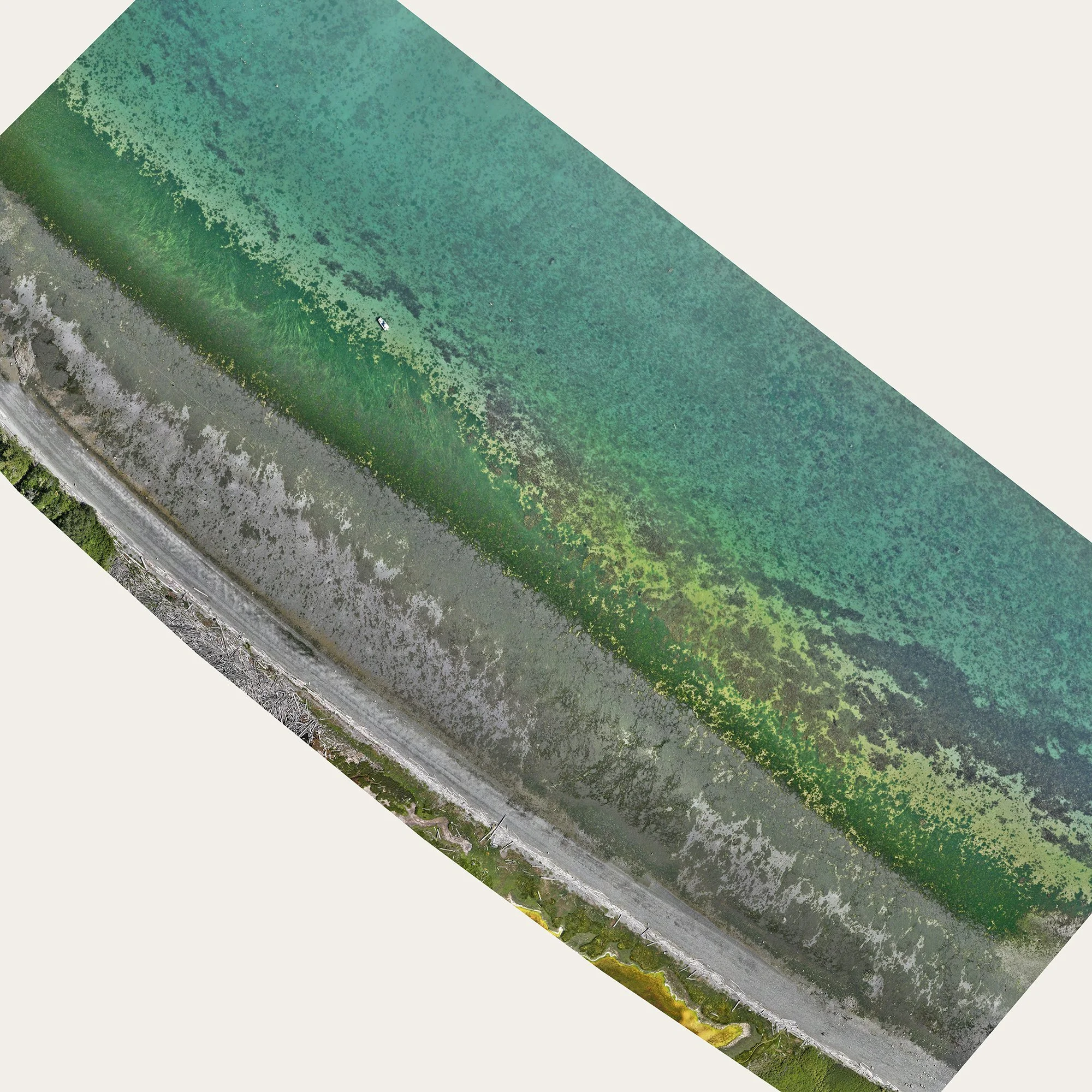
Precision Mapping, Modeling, and Media for Environmental and Conservation Projects
Harness the power of high-resolution aerial mapping, 3D modeling, photography, and videography to monitor ecosystems, track land changes, and support conservation efforts. Our drone-captured orthomosaics deliver accurate, up-to-date visuals for habitat assessments, shoreline monitoring, and restoration planning—empowering environmental professionals with the tools they need to make informed decisions.

3D Site and Building Models for Design, Construction, and Inspection
Bring your projects to life with detailed 3D models created from drone imagery. Whether you’re an architect designing a structure, a construction manager monitoring progress, or an inspector assessing a building, our high-accuracy models offer critical insights for planning, documentation, and evaluation—saving time and reducing costs. They also provide compelling visuals for marketing, proposals, and client presentations.

Interactive 3D Models That Bring Real Estate Listings to Life
Showcase properties with clarity, depth, and impact. Our drone-generated 3D models offer immersive, interactive views of homes and land—helping buyers explore layout, terrain, and location context from every angle, making it easier to visualize the potential of a property. Perfect for large estates, vacant lots, and pre-construction marketing, 3D modeling sets your listings apart, boosts engagement, and builds buyer confidence with stunning visual precision and compelling spatial storytelling.